Predictive Trail Erosion Model
images/hero-image-trail-erosion.jpg
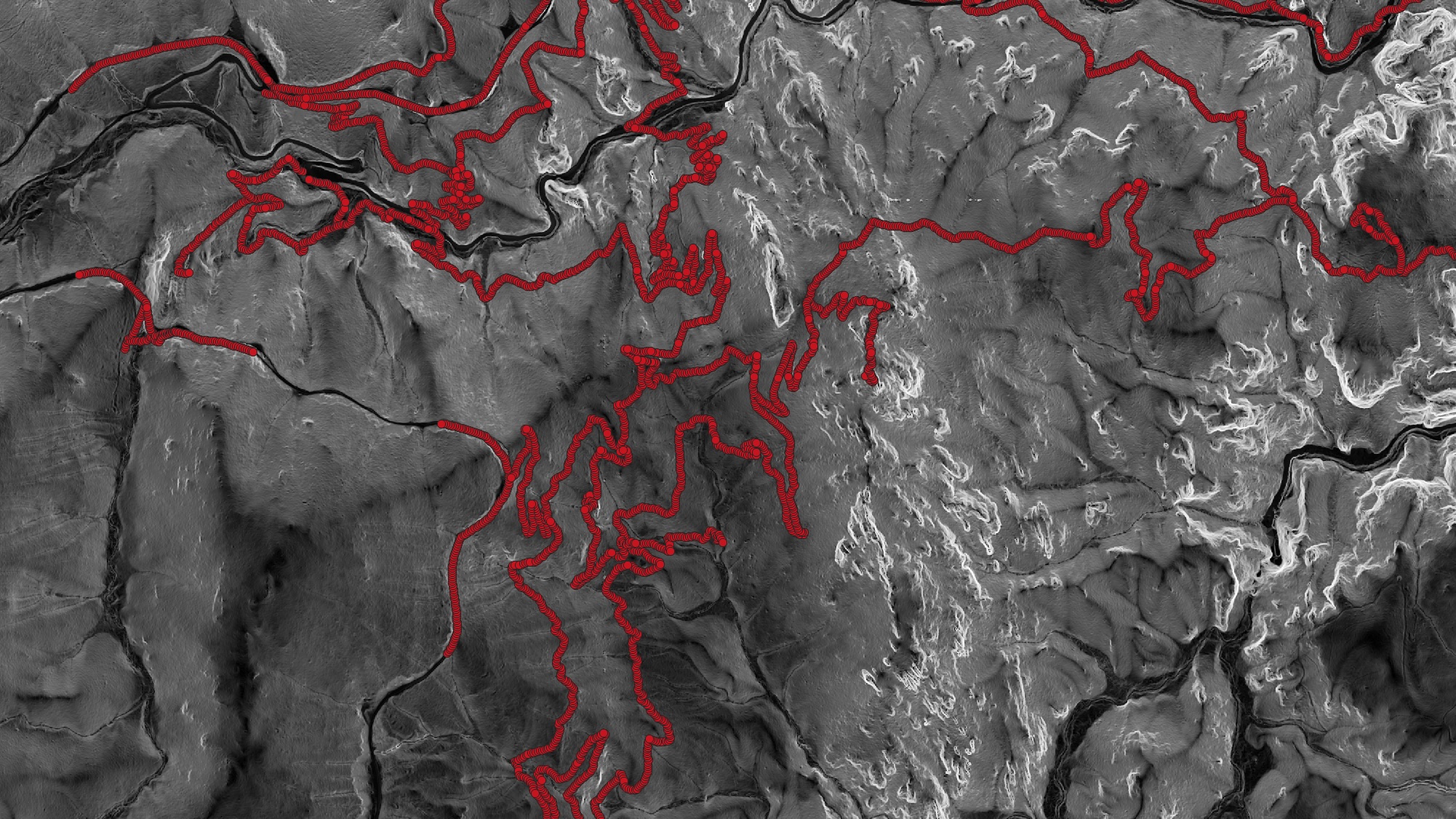
Developed as part of a Fluid Dynamics Internship, this project is a predictive model designed to identify trail erosion risks for national parks in Colorado by combining GIS-based terrain analysis with computational fluid dynamics. High-resolution digital elevation data was processed into the terrain parameters that govern how water moves across a landscape, including slope gradient, profile and plan curvature, flow direction, and flow accumulation throughout the trail network.
These terrain metrics were integrated into two complementary hydraulic simulations. First, HEC-RAS 2D to model broad watershed-scale flow patterns. Second, ANSYS CFD was used to analyze localized water behavior at high-risk trail locations and how that risk value would be affected by the addition of drainage systems. These simulations predicted key erosion-driving variables including flow velocity, water depth, and bed shear stress along the trail surface. Among these factors, shear stress is especially important because it determines when flowing water has enough force to detach and transport soil particles — the fundamental mechanism behind erosion.
The final model produces a spatial risk map identifying trail segments most vulnerable to erosion. The risk model was verified by taking data on erosion conditions at points along the trail network.
Process Photos
trail-erosion folder.